Are there any recommended apps for navigating the public transport system?
Similar Topics
public transport apps
Google Maps
Citymapper
Transit app
Moovit
navigating public transport
real-time updates
bus and train schedules
urban transport navigation
bike-sharing services
Absolutely, navigating public transport can be a breeze with the right apps. One of the most popular choices is Google Maps, which not only provides detailed directions for walking and driving but also offers comprehensive public transit options. You can input your starting point and destination, and it will show you various routes, including bus and train schedules, with real-time updates on any delays. This is particularly useful in busy urban areas where transit schedules can change frequently.
Another great app is Citymapper, which is specifically designed for navigating public transport in major cities. It gives you multiple route options, including the fastest, cheapest, and even the least walking. Citymapper also provides information about disruptions and alerts, making it a reliable choice for travelers. Moreover, if you’re in a city with bike-sharing or ride-hailing services, Citymapper often integrates these options, giving you a comprehensive view of your transportation choices.
For those who prefer a more localized experience, many cities have their own dedicated apps, such as Transit or Moovit. These apps focus on the public transport systems of specific areas, offering features like real-time arrivals and service alerts. They can also help you understand the nuances of local transport, such as the best times to travel or which lines to take for a scenic route. By downloading a couple of these apps before your trip, you'll find navigating the public transport system much easier and more enjoyable.
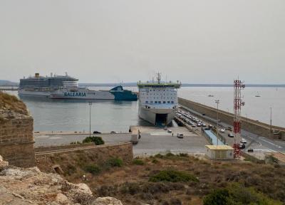
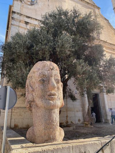
Palma de Mallorca
More Fotos