What are the main geographical features of the Balearic Islands?
Similar Topics
balearic islands
mallorca
menorca
ibiza
formentera
sierra de tramuntana
puig major
es pla
natural parks
mediterranean climate
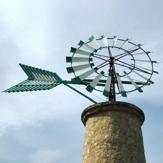
The Balearic Islands, an archipelago located in the Mediterranean Sea, consist of four main islands: Mallorca, Menorca, Ibiza, and Formentera, along with several smaller islands and islets. Mallorca, the largest island, features a diverse topography that includes the rugged Sierra de Tramuntana mountain range, which runs along the northwest coast and is a UNESCO World Heritage site. This mountain range boasts the island's highest peak, Puig Major, which reaches an elevation of 1,445 meters.
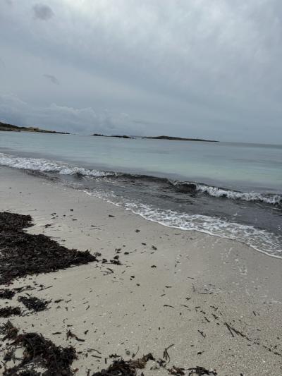
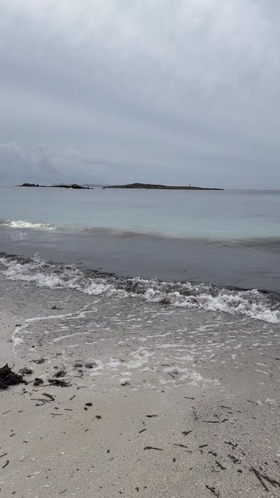
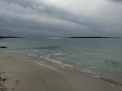
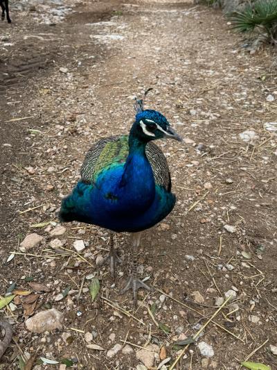
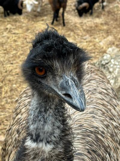
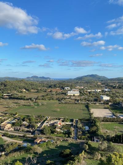
In addition to its mountainous terrain, Mallorca has flat plains in the central region, known as the Es Pla, and picturesque coastline characterized by steep cliffs, sandy beaches, and hidden coves. The island is also home to various natural parks, such as the Mondragó Natural Park, showcasing rich biodiversity. Furthermore, the Mediterranean climate supports an array of flora and fauna, with agricultural areas contributing to the island's economy through products like almonds and olives. The islands are surrounded by crystal-clear waters, which host numerous marine species, making them popular for water-based activities and tourism. Overall, the geographical features of the Balearic Islands create a striking blend of landscapes, contributing to their appeal as a destination.
In addition to its mountainous terrain, Mallorca has flat plains in the central region, known as the Es Pla, and picturesque coastline characterized by steep cliffs, sandy beaches, and hidden coves. The island is also home to various natural parks, such as the Mondragó Natural Park, showcasing rich biodiversity. Furthermore, the Mediterranean climate supports an array of flora and fauna, with agricultural areas contributing to the island's economy through products like almonds and olives. The islands are surrounded by crystal-clear waters, which host numerous marine species, making them popular for water-based activities and tourism. Overall, the geographical features of the Balearic Islands create a striking blend of landscapes, contributing to their appeal as a destination.
Santanyi
More Fotos
🧩 Related Questions
Related Question
What role do local food sourcing and reduced water use play in Mallorca’s sustainable tourism efforts?
Related Question
What role does local agriculture play in Mallorca’s strategy for sustainable development?
Related Question
What unique culinary experiences in Mallorca allow guests to dine while overlooking the Cabrera Archipelago?