How has technology like GIS mapping enhanced the study and visualization of Mallorca’s historical data?
Similar Topics
gis mapping
historical data visualization
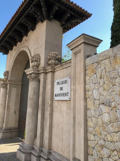
mallorca history
spatial analysis
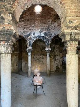
archaeological mapping
heritage conservation
virtual tours
multidisciplinary collaboration
Technology such as Geographic Information Systems (GIS) mapping has significantly enhanced the study and visualization of Mallorca’s rich historical data by allowing researchers and historians to analyze spatial and temporal relationships in a deeply integrated manner. GIS technology enables the layering of various datasets—archaeological finds, historical landmarks, and ancient trade routes—onto digital maps, offering a coherent and comprehensive view of Mallorca’s past. This integration makes it easier to identify patterns and correlations that would be difficult to discern from traditional maps or textual records alone. For instance, GIS can reveal how settlements evolved in response to natural features like rivers and terrain, or how historical trade dynamics influenced the development of Mallorca’s coastal towns.
Furthermore, GIS mapping enhances the visualization of Mallorca’s history by transforming abstract data into interactive, visually engaging formats that appeal both to scholars and the general public. High-resolution satellite imagery, combined with historical cartography, allows for precise reconstructions of past landscapes and urban configurations. This not only aids academic research but also greatly improves heritage conservation efforts by pinpointing locations of undiscovered ruins or areas vulnerable to environmental threats. Additionally, GIS facilitates the creation of virtual tours and educational platforms, making Mallorca’s history accessible to a broader audience. Visitors and local residents alike can explore historical narratives through an intuitive interface that highlights the island’s cultural evolution in a dynamic, spatially contextualized manner.
In practical terms, GIS mapping supports multidisciplinary collaboration among archaeologists, historians, environmental scientists, and urban planners. This cooperation fosters a holistic understanding of Mallorca’s heritage, incorporating insights from physical geography, human activity, and environmental changes over centuries. By visualizing the interconnectedness of various historical factors on a single platform, GIS encourages more informed decision-making regarding preservation and tourism management. In sum, GIS mapping has transformed the study of Mallorca’s history from static archival research into an interactive spatial exploration, enriching both academic inquiry and cultural appreciation in meaningful and lasting ways.

Capdepera
More Fotos

🧩 Related Questions
Related Question
How are Mallorca hotels incorporating sustainable practices to minimize their environmental impact?
Related Question
How do hermits on Mallorca incorporate traditional food and music into their religious festivities?
Related Question
Do any Mallorca markets offer guided tasting tours or events centered around Serrano ham?