How can visitors identify evidence of tectonic activity while hiking in the Serra de Tramuntana?
Similar Topics
tectonic activity signs
serra de tramuntana
hiking evidence
tectonic uplift
fault lines
rock formations
sedimentary rock layers
geological processes
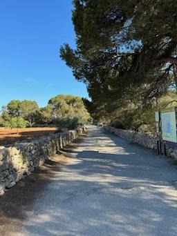
Visitors hiking in the Serra de Tramuntana can observe multiple signs of tectonic activity, which has played a crucial role in shaping this dramatic mountain range. The rugged landscape itself is an indication of tectonic forces at work; the steep cliffs, sharp ridges, and deep valleys clearly reflect the impact of Earth's crustal movements over millions of years. These mountains were primarily formed by the collision of tectonic plates, causing uplift and folding of rock strata. The visible layers of sedimentary rock, often tilted or fractured, serve as enduring evidence of these geological processes.
In addition to the overall topography, hikers might notice various rock formations such as fault lines and dislocations where the Earth's crust has shifted. These features often appear as cracks or breaks in the rock, sometimes accompanied by distinctive displacement. The jagged and irregular nature of the terrain, combined with exposed rock faces, provides clues to the intense pressures and motions beneath the surface. Furthermore, occasional signs of erosion and landslide deposits may underline the ongoing instability related to tectonic activity and surface reshaping.
While hiking, visitors can also appreciate the gradual rise of the Serra de Tramuntana above the surrounding landscape, a continuous reminder of the persistent tectonic uplift. Streams carving through the mountains sometimes reveal sediments and rock fragments transported from higher elevations, offering a glimpse into the interplay between tectonics and erosion. Together, these natural indicators create a compelling narrative about the dynamic forces that have sculpted the Serra de Tramuntana, making a hike through this area not only a scenic experience but also an insightful lesson in Earth's geological history.
Porto Cristo
More Fotos


🧩 Related Questions
Related Question
How does Mallorca's climate influence the agricultural methods used on the island?
Related Question
How does the revival of olive farming contribute to the preservation of Mallorca’s cultural heritage for visitors?
Related Question
Are there any hilltop restaurants in Mallorca where visitors can enjoy traditional cuisine alongside natural vistas?