Did Mallorcan cartographers collaborate with others from different regions or countries?
Similar Topics
Mallorcan cartographers
Abraham Cresques
Mediterranean map-making
Renaissance cartography
map-making collaboration
portolan chart
geographical knowledge
historical navigation
cultural exchange
Mediterranean exploration
Mallorcan cartographers, particularly during the late Middle Ages and the Renaissance, were indeed known for their collaborations with scholars and cartographers from various regions and countries. The island of Mallorca was a significant center for map-making, especially during the 13th to 15th centuries, when it became a hub of intellectual exchange in the Mediterranean. The famous cartographer Abraham Cresques, who was a Jewish scholar from Mallorca, created notable maps that incorporated knowledge from Arabic, Latin, and other European sources. His work exemplifies how Mallorcan cartographers synthesized diverse geographical knowledge and techniques, which were essential for navigation and exploration during that era.
Moreover, the connections between Mallorca and other Mediterranean regions facilitated the sharing of ideas and innovations in cartography. As trade routes expanded, so did the flow of information; Mallorcan mapmakers often interacted with Italian, Spanish, and North African scholars. This collaboration allowed them to refine their techniques and incorporate new discoveries into their maps. For instance, the use of the portolan chart, which highlighted coastal navigation using compass directions, was influenced by the combined expertise of various maritime cultures.
The legacy of these collaborative efforts can still be seen today, as the maps produced in Mallorca during this period were not only practical tools for sailors but also works of art that reflected the cultural and scientific advancements of the time. The blending of different cartographical traditions enriched the quality of the maps and contributed to the broader understanding of geography, making Mallorca a pivotal player in the history of navigation and exploration. Thus, the island's cartographers not only produced significant local works but also contributed to a global tradition of map-making that transcended regional boundaries.
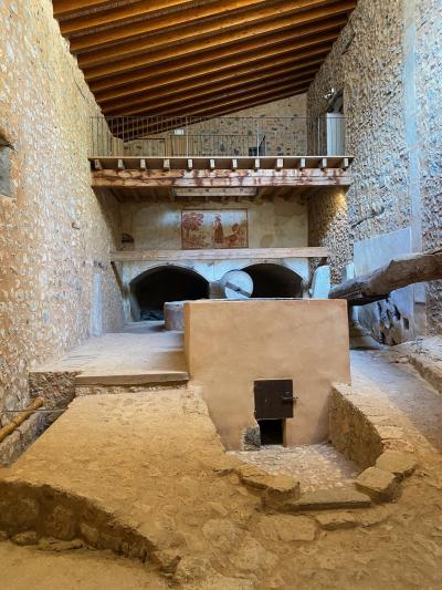
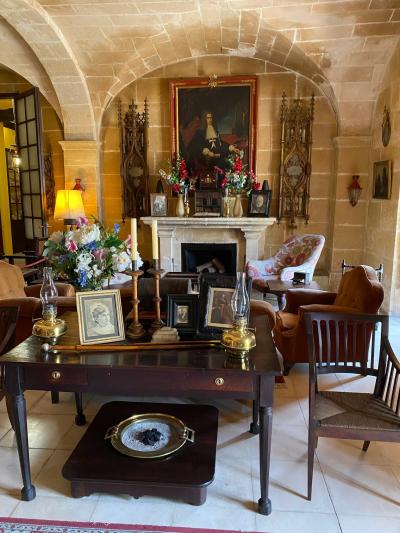
Bunyola
More Fotos