How does the layout of Palma’s streets reflect its medieval and Roman planning?
Similar Topics
palma street layout
roman urban planning
medieval street design
cardo maximus
decumanus maximus
roman grid pattern
medieval narrow alleys
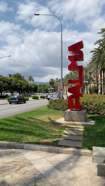
palma historical streets
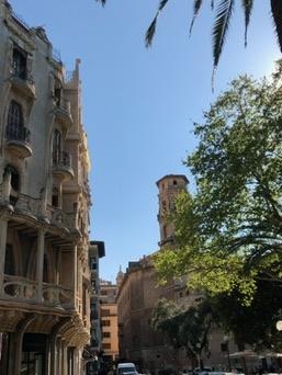
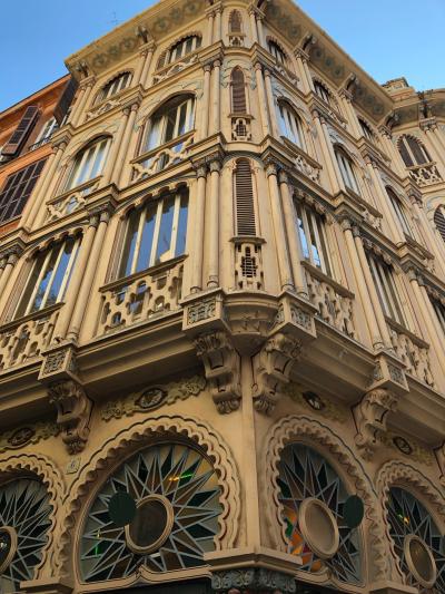
The layout of Palma’s streets is a vivid reflection of its rich historical tapestry, showcasing elements from both its Roman origins and medieval developments. At its core, the city's structure retains the influence of Roman urban planning, which emphasized a grid pattern based on the cardo maximus and decumanus maximus—two main roads intersecting at right angles. This foundational grid provided a coherent framework for the city and served as the backbone for later expansions. Traces of this orderly blueprint are still visible in the central parts of Palma, where straight, narrow streets intersect at right angles, offering a glimpse into its Roman past.
Building upon this Roman framework, the medieval period added layers of complexity and character to Palma’s street layout. During this era, the city expanded beyond its Roman walls, adapting to the needs of a growing population and increasing commercial activity. Streets became more irregular and winding, reflecting the organic growth typical of medieval towns. This created a fascinating juxtaposition between the Roman geometric core and the labyrinthine medieval districts. Narrow alleys, vaulted passageways, and small squares characterize these areas, designed to maximize defense and shade in the Mediterranean climate.
Together, the Roman and medieval layouts contribute to Palma’s unique urban fabric, where history is imprinted in the very streets and public spaces. The city's network encourages exploration, revealing a blend of order and unpredictability, with the Roman grid serving as a navigational anchor and the medieval streets inviting discovery of hidden corners, ancient buildings, and vibrant local life. This blend of planning styles not only tells the story of Palma’s past but also enriches the modern visitor's experience, creating a cityscape that is both historically informative and aesthetically engaging.
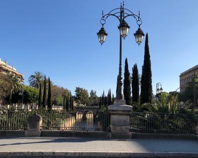
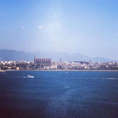
Parc de la Mar
More Fotos