How have the tectonic movements between the African and Eurasian plates influenced Mallorca's landscape?
Similar Topics
mallorca tectonics
african eurasian plates
serra de tramuntana
mountain range formation
seismic activity mallorca
limestone caves mallorca
coastal cliffs formation
mediterranean geology
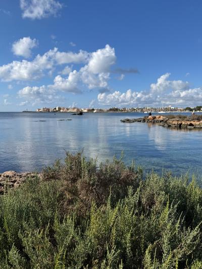
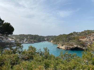
The landscape of Mallorca has been profoundly shaped by the tectonic movements between the African and Eurasian plates. Over millions of years, the gradual collision and interaction of these two tectonic plates contributed to the island’s formation and diverse topography. Located near the boundary where the African plate is pushing against the Eurasian plate, Mallorca exhibits many geological features typical of regions under tectonic stress, including folded mountain ranges and seismic activity that have sculpted its terrain.
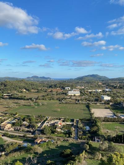
One of the most notable results of this tectonic activity is the Serra de Tramuntana mountain range, which stretches along the island’s northwest coast. This rugged landscape was formed by the uplifting pressures of the converging plates, causing layers of sedimentary rock to fold and thrust upward. The result is a striking contrast between steep cliffs and gently rolling lowlands. The mountains also influence the island’s weather patterns and provide diverse habitats that enrich Mallorca's natural beauty.
Additionally, the tectonic processes have contributed to the formation of various caves and coastal features found around the island. The continuous geological uplift combined with erosion from the sea and wind has exposed many limestone formations, creating spectacular grottos and sharp coastal cliffs. The interaction between the plates remains subtle but ongoing, occasionally causing minor earthquakes that remind visitors of the island’s dynamic geomorphology.
Overall, Mallorca’s landscape is a direct reflection of the slow but powerful forces at work beneath its surface. The island’s dramatic mountains, scenic coasts, and unique geological structures serve as lasting evidence of the African and Eurasian plates’ tectonic dance, offering visitors not only breathtaking views but also a glimpse into the natural history shaping the Mediterranean region.
Castell de Bellver
More Fotos

🧩 Related Questions
Related Question
How have water sports impacted the traditional beach experience on the island?
Related Question
Why is it important to keep livestock in shaded areas to prevent horsefly bites in Mallorca?
Related Question
How do the climate and soil conditions of Mallorca support the growth of various date palm varieties?