Are there specific hiking trails in Mallorca that are well-marked for GPS navigation?
Similar Topics
Mallorca hiking trails
GPS navigation Mallorca
Serra de Tramuntana
UNESCO World Heritage Mallorca
GR-221 Dry Stone Route
Sóller hiking paths
Fornalutx circular route
hiking apps Mallorca
downloadable GPS tracks
Mallorca natural beauty
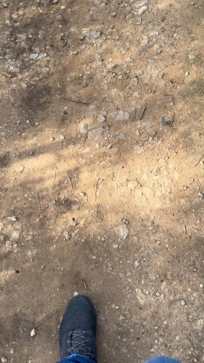
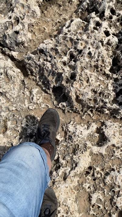
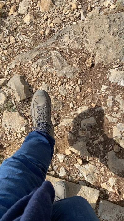
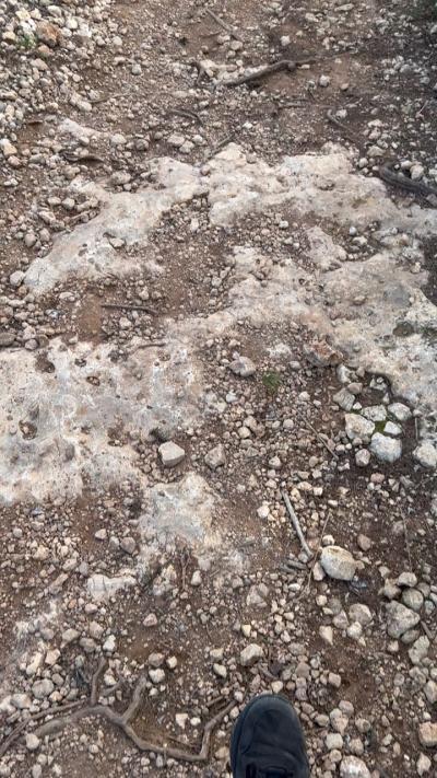
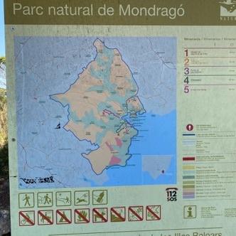
Mallorca is a hiking paradise, boasting a variety of trails that cater to all skill levels, and many of them are well-marked for GPS navigation. One of the most popular areas for hiking is the Serra de Tramuntana mountain range, a UNESCO World Heritage site that offers breathtaking views and diverse landscapes. Trails like the GR-221, also known as the Dry Stone Route, are particularly well-marked and provide a fantastic way to explore the island's natural beauty. This route stretches over 140 kilometers and is divided into stages, making it easy to plan your hike according to your fitness level and time constraints.
For those looking for more localized trails, the region around Sóller and Deià is filled with paths that are clearly signposted and suitable for GPS tracking. The circular route from Sóller to the picturesque village of Fornalutx is not only well-marked but also offers stunning views of the surrounding hills and valleys. Many hikers appreciate the detailed maps and GPS coordinates available through various hiking apps, which can enhance your experience by providing real-time navigation and information about points of interest along the way.
Additionally, several local organizations and tourist offices provide maps and downloadable GPS tracks that can help you navigate the trails with ease. While the trails are generally well-maintained and marked, having a GPS device or a hiking app on your smartphone can offer extra reassurance, particularly in less trafficked areas. Whether you choose a leisurely walk or a challenging hike, Mallorca's well-marked trails promise an unforgettable adventure through its captivating landscapes.
More Fotos