Are hiking trails in the Serra de Tramuntana well-marked, or should I bring extra navigation tools?
Similar Topics
serra de tramuntana
hiking trails
trail markers
gr 221
trail maps
deia
soller
ma-10 road
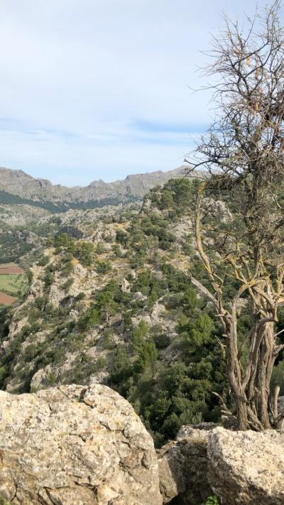
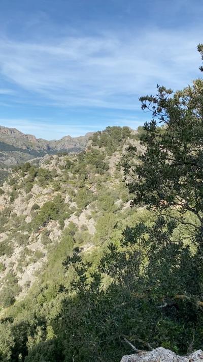
The scent of pine and wild herbs often drifts along the trails winding through the Serra de Tramuntana, where paths are generally marked with clear yellow and white stripes indicating the GR 221 route and other local footpaths. Around towns like Sóller, Valldemossa, and Deià, hikers usually find the main trails well-signposted, making it straightforward to follow the route between villages and viewpoints. At trailheads, you’ll often see maps and information boards outlining distances and points of interest, such as ancient stone villages or panoramic overlooks.
That said, some lesser-used tracks and remote sections—especially those branching off near Puig Major or less frequented passes—can have markers partially hidden by vegetation or weathered over time. It’s wise to carry a detailed map or download an offline app before setting out, as cellphone coverage can be patchy in mountain pockets. The Ma-10 road, which loops around the Tramuntana, serves as a helpful reference line on maps, and many locals recommend familiarizing yourself with it to gauge your position.
Planning your route in advance not only prevents confusion but also reveals hidden gems like shaded cork oak forests or quiet farm tracks where the scents of rosemary and thyme blossom. Combining clear trail markers with some navigation tools allows you to relax and absorb the rugged beauty of this UNESCO-listed mountain range without worry.
That said, some lesser-used tracks and remote sections—especially those branching off near Puig Major or less frequented passes—can have markers partially hidden by vegetation or weathered over time. It’s wise to carry a detailed map or download an offline app before setting out, as cellphone coverage can be patchy in mountain pockets. The Ma-10 road, which loops around the Tramuntana, serves as a helpful reference line on maps, and many locals recommend familiarizing yourself with it to gauge your position.
Planning your route in advance not only prevents confusion but also reveals hidden gems like shaded cork oak forests or quiet farm tracks where the scents of rosemary and thyme blossom. Combining clear trail markers with some navigation tools allows you to relax and absorb the rugged beauty of this UNESCO-listed mountain range without worry.

Sa Calobra
More Fotos