How can I easily find the nearest bus stop while exploring towns like Palma or Sóller?
Similar Topics
bus stops palma
tib bus network
public transport mallorca
soller railway
ma-13 bus route
alcudia bus station
tramuntana transport
pollenca bus stop
When wandering the streets of Palma or the narrow alleys of Sóller, spotting a bus stop is often a matter of looking for the distinctive blue-and-white signs that mark the island’s public transport network. In Palma, many stops are close to landmarks such as Plaça d’Espanya or Passeig del Born, making them easy to find even for first-time visitors. Away from the city, in towns like Alcúdia or Pollenca, bus stops tend to cluster near central squares or main roads like the Ma-13 or Ma-19, so heading there will usually put you in the right place.
If you’re relying on a smartphone, the TIB bus network app is invaluable for real-time route updates and nearby stop locations. Signage at stops often includes detailed route maps and schedules, helping you plan your next journey while you wait. In smaller villages such as Valldemossa or Deià, stops may be less conspicuous, but locals are always ready to point the way.
For journeys into the Serra de Tramuntana or coastal coves like Cala Mondragó, buses provide a scenic and convenient alternative to driving. Plus, the historic Sóller railway and Palma metro supplement bus services around the island’s main hubs, offering further transport options. With a little attention to those blue signs and a quick glance at your app, finding the nearest bus stop is usually quicker than you’d expect.
If you’re relying on a smartphone, the TIB bus network app is invaluable for real-time route updates and nearby stop locations. Signage at stops often includes detailed route maps and schedules, helping you plan your next journey while you wait. In smaller villages such as Valldemossa or Deià, stops may be less conspicuous, but locals are always ready to point the way.
For journeys into the Serra de Tramuntana or coastal coves like Cala Mondragó, buses provide a scenic and convenient alternative to driving. Plus, the historic Sóller railway and Palma metro supplement bus services around the island’s main hubs, offering further transport options. With a little attention to those blue signs and a quick glance at your app, finding the nearest bus stop is usually quicker than you’d expect.

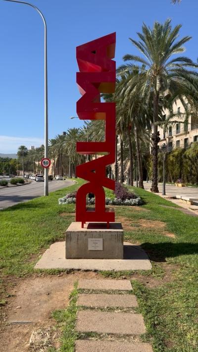
Palma
More Fotos