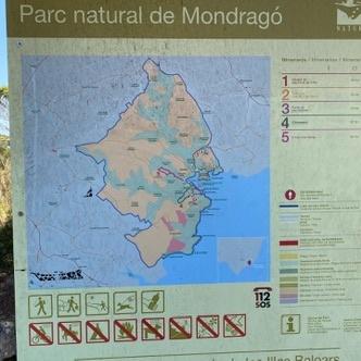
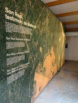
Should I bring a physical map when exploring Mallorca’s towns and countryside?
Similar Topics
physical map
tramuntana
tib bus network
ma-10 road
es trenc beach
pa amb oli
valldemossa
binissalem wine
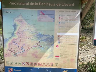
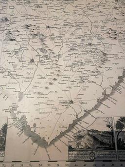
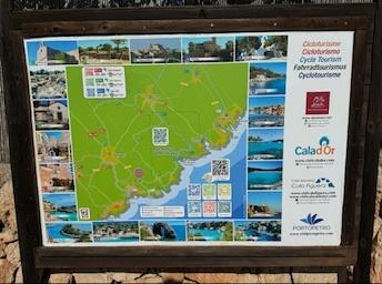
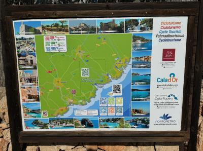
Spotting the subtle curve of the Serra de Tramuntana or the winding path of the Ma-10 on a paper map can be far more rewarding than scrolling along a screen. While it’s tempting to rely solely on digital navigation—especially with the TIB bus routes or Palma metro schedules available online—signal gaps in the Tramuntana or along secluded coves like Cala Mondrago remind many travellers why a printed map is still invaluable. It doesn’t depend on batteries and offers a true sense of the island’s layout, from the terracotta rooftops of Valldemossa to the sweeping sands of Es Trenc.
Beyond practical use, unfolding a detailed map invites a deeper appreciation of local geography. You might discover quieter detours on the Ma-19 heading to Porto Cristo or spot lesser-known beaches tucked near Cala Llombards. This tangible connection prompts spontaneous adventures—perhaps a hike above Deia or a wine tasting in Binissalem—that might otherwise be missed when glued to a screen. Historic landmarks or traditional markets in Pollenca, often marked on good maps, offer glimpses into island life best savoured without digital distraction.
A physical map thus becomes both a vital backup and a gateway to more immersive exploration, instilling confidence when navigating narrow mountain roads or when seeking that perfect spot to sample pa amb oli or enjoy a cool Hierbas in a village square. Whether meandering through the bustling streets of Palma or venturing to the tranquil Cape Formentor, this tactile tool enhances the sense of discovery and connection that defines travelling here.
Beyond practical use, unfolding a detailed map invites a deeper appreciation of local geography. You might discover quieter detours on the Ma-19 heading to Porto Cristo or spot lesser-known beaches tucked near Cala Llombards. This tangible connection prompts spontaneous adventures—perhaps a hike above Deia or a wine tasting in Binissalem—that might otherwise be missed when glued to a screen. Historic landmarks or traditional markets in Pollenca, often marked on good maps, offer glimpses into island life best savoured without digital distraction.
A physical map thus becomes both a vital backup and a gateway to more immersive exploration, instilling confidence when navigating narrow mountain roads or when seeking that perfect spot to sample pa amb oli or enjoy a cool Hierbas in a village square. Whether meandering through the bustling streets of Palma or venturing to the tranquil Cape Formentor, this tactile tool enhances the sense of discovery and connection that defines travelling here.
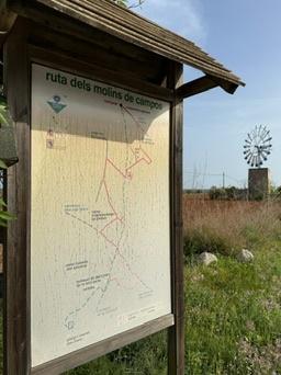
Campos
More Fotos