Are there reliable apps or services to help with driving navigation on the island?
Similar Topics
driving navigation
google maps
waze app
mallorca roads
offline maps
tib bus
serra de tramuntana
palma metro
Among the small charms that reveal themselves here are the narrow, twisting roads like the Ma-10 through the Serra de Tramuntana or the coastal Ma-19 highway, where keeping track of your journey can be as important as savoring the views. Drivers often rely on global apps such as Google Maps for real-time directions and traffic updates, which prove helpful when navigating the sometimes congested streets of Palma or approaching popular beaches like Es Trenc and Cala Mondrago.
For a more interactive experience, Waze is widely used, offering live reports from fellow drivers that alert you to roadworks, closures, or police presence — particularly useful when winding through mountain passes or visiting busy towns such as Soller or Alcudia. While there isn’t a dedicated Mallorca-specific driving app, the TIB bus network and Palma metro apps provide valuable information if you switch from car to public transport during your stay.
Given some rural pockets around places like Valldemossa or Deia have weaker signal, downloading offline maps before setting out is wise to avoid getting lost on rustic lanes. Keeping your phone charged is essential too, especially if planning scenic detours. Whether cruising along Formentor or the Ma-13 towards Manacor, these navigation aids can help you embrace the island’s rich landscape with confidence and freedom.
For a more interactive experience, Waze is widely used, offering live reports from fellow drivers that alert you to roadworks, closures, or police presence — particularly useful when winding through mountain passes or visiting busy towns such as Soller or Alcudia. While there isn’t a dedicated Mallorca-specific driving app, the TIB bus network and Palma metro apps provide valuable information if you switch from car to public transport during your stay.
Given some rural pockets around places like Valldemossa or Deia have weaker signal, downloading offline maps before setting out is wise to avoid getting lost on rustic lanes. Keeping your phone charged is essential too, especially if planning scenic detours. Whether cruising along Formentor or the Ma-13 towards Manacor, these navigation aids can help you embrace the island’s rich landscape with confidence and freedom.
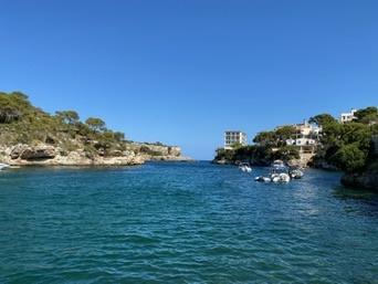
Cala Figuera
More Fotos